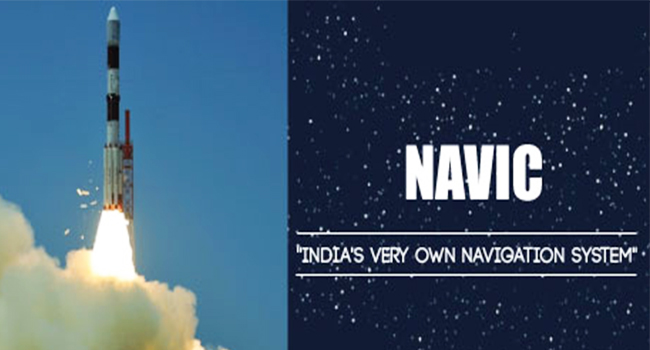
On Thursday, April 2016, ISRO (Indian Space Research Organization) has launched the seventh and final satellite of the Indian Regional Navigation Satellite System, IRNSS 1G, on board the PSLV C33, from Satish Dhawan Space Centre in Sriharikota. Here are 9 facts associated with India's pride, the IRNSS 1G satellite.
PSLV-C33/IRNSS-1G Mission Launch pic.twitter.com/D6MsLZl7GO
— ISRO (@isro) April 29, 2016
1. India, the Fifth Country to own its Own Navigation System: With the launch of NAVIC, India became the fifth country, after the US, Russia, European Union, and China, to own its own navigational system. India had been depending completely on the US Global Positioning System for its navigational requirements until now.
2. 12 – Year Mission Life: The satellite was safely positioned into its sub geosynchronous transfer orbit with a perigee (nearest point to earth) of 284 km and an apogee (farthest point to earth) of 20,657 km. It is estimated to cover a mission life of 12 years, completing the IRNSS constellation of seven satellites.
Must Read: Know About the Indian Version of GPS
3. NAVIC, the Name Says it All: India's Prime Minister, Mr. Narendra Modi named the system as NAVIC, translated as mariners, dedicating it to the mariners and fishermen of the country. The satellite system finds its application in marine, terrestrial, and aerial navigation. NAVIC is expanded as Navigation with Indian Constellation.
The system can allow GPS vehicle tracking , fleet management, disaster management, mapping and geodetic data capture, visual and voice navigation to name a few. Its service can be integrated into the mobile phones used by hikers and fishermen for example.
4. Other Countries are Welcome to take Advantage of the System: Mr. Modi offered NAVIC's services to all the SAARC nations and India's neighbouring nations as well. India currently has seven countries that rely on other countries for their navigational needs.
5. IRNSS is Unique: Contrary to other navigational systems, which makes use of more than 20 satellites for its function, the IRNSS system only includes 7 satellites. It is regional in nature, unlike other systems which are global, and can provide accurately the positioning information within the country and about 1500 km away from its boundaries.
Read Also: 12 Surprising Facts You Never Knew About GPS
6. Better Control during Calamities from Now On: With the launch of NAVIC, it is expected that the country could manage calamities even more better. It will aid fast and superior rescue operations and disaster relief services during natural and man-made calamities like war, flood, earthquake etc. The country no longer will be restricted by the denial of service by nations on which it depended for such information.
7. Accurate Up to 20 m: ISRO claims that the system can deliver an accuracy not less than 20 m. It's services will be offered as two modes: as a Standard Positioning Open Service and a Coded Military Restricted Service.
8. Testing IRNSS: At present, all the satellites under the IRNSS system, is undergoing stabilisation testing, and the verification of their performance. This will be continued over the next few months before it will be put to use.
9. Total Cost: ISRO officials stated that the IRNSS satellites reached a total cost of Rs. 1,420 crore.
